GIS
Make Mountains in Blender from Heightmaps
Blender can make mountains from heightmaps, and this is a tutorial to show you how. Follow along and recreate two volcanoes from New Zealand's Central Plateau.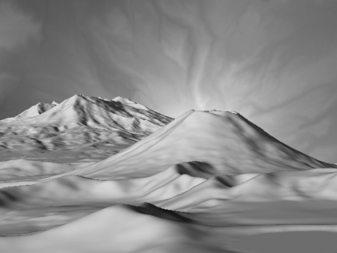
Export Terrain Contours from Blender Using Freestyle
Learn to create contours from terrain and export from blender in the SVG format for making maps, 3d printing, or cutting from physical materials.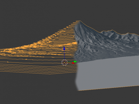
Colour by Altitude
Learn to assign colour to terrain based on altitude with Blender.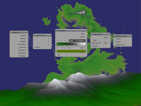
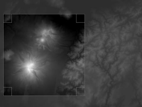
Finding Heightmaps on the Web
This tutorial provides heightmaps, links to them, and talks about what to look for. It is written from the point of view of someone wanting to use them for modelling terrain in Blender, but it is relevant to modelling with other 3d packages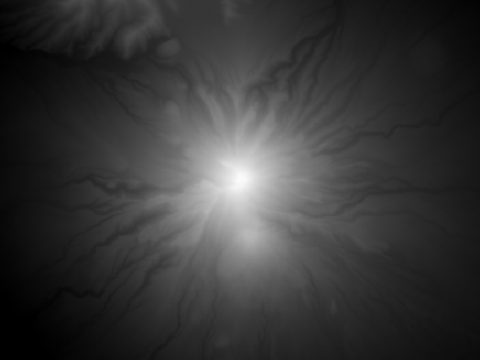
Heightmap Conversion with GDAL
Learn how to use GDAL through the command line to extract 16bit heightmaps from Data Elevation Models.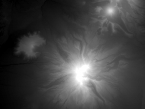
Export Heightmaps from QGIS by Print Layout
To get the highest quality heightmaps from QGIS we use the Print Layout function. This tutorial builds on the heightmap refinements taught in Export Heightmaps from QGIS by Screenshot.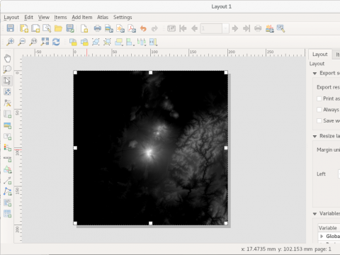
Export Heightmaps from QGIS by Screenshot
This tutorial shows how to export heightmaps from QGIS 3.0.1 by using the screenshot method.